
")


Terrains and maps
All our maps follow the IOF guidelines and standards : ISSOM for the prologue's map and ISOM for the 3 days'. All the maps are going to be drawn during the winter 2014-2015 in order to ensure optimal quality and precision.
Prologue : The prologue will take place in Altkirch city center. This area has never been mapped for orienteering so far !
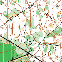
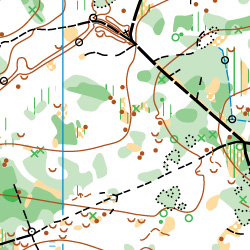
Days 1 and 2 : The area is located south of Eglingen, 5 km nord-west of Altkirch and 15 km south-west of Mulhouse. The terrain is mostly wood with hills and valleys. You can have a glance at the following map extracts from a map a few kilometers away and with similar characteristics :
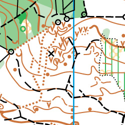
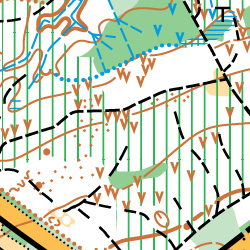
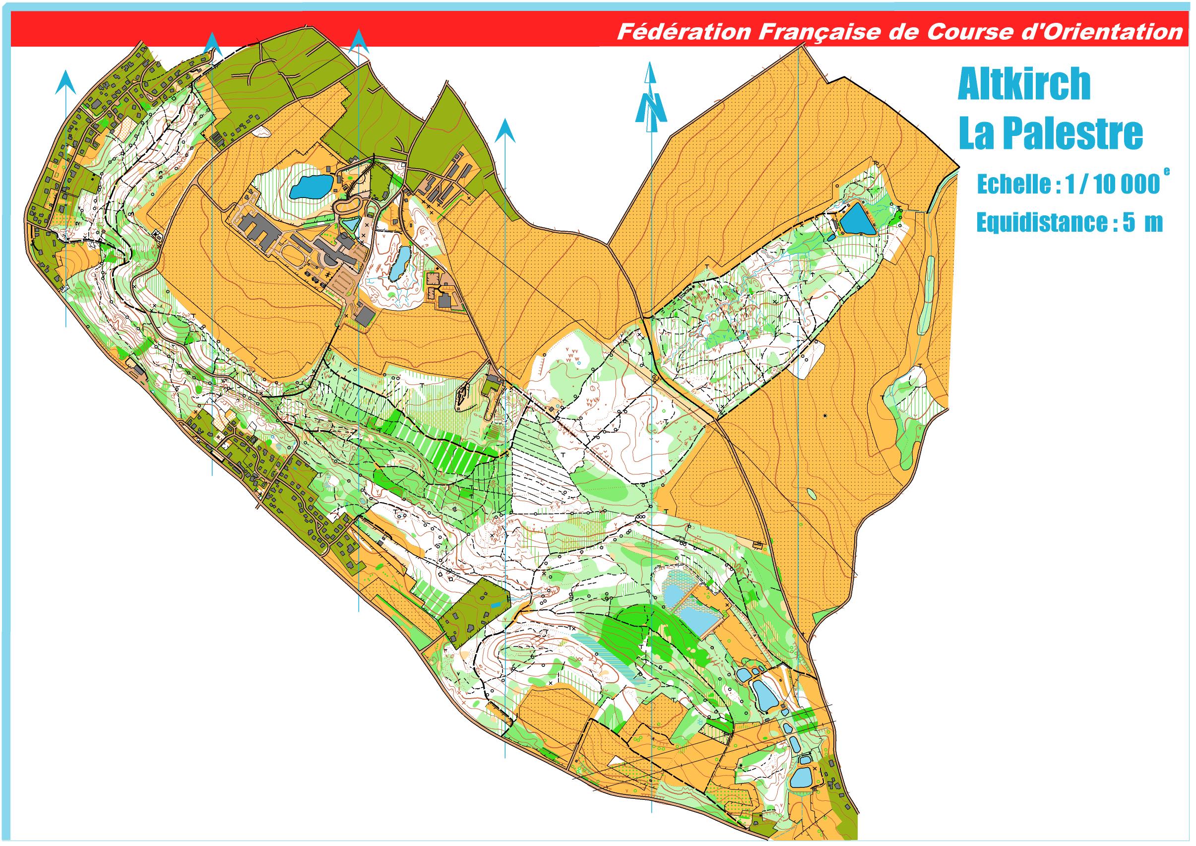
Day 3 : The third day will take place close to Altkirch, south of Mulhouse. The area has already been mapped many times. It is a wooden terrain with small hills and many vegetation and contour features. Following are two extracts from the most recent map (winter 2003-2004) :
You can also look at the current map in low-res.


